TECHNOLOGY
OUR TECHNOLOGY
Advanced Radar Technologies for Subsurface Insight
We combine state-of-the-art SAR and InSAR technologies to monitor terrain deformation, detect structural risks, and reveal what lies beneath—without ever disturbing the surface.

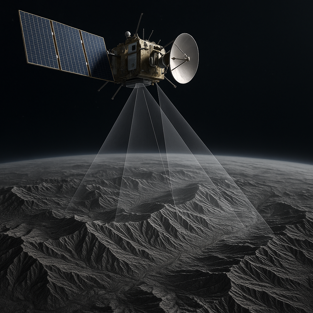
Synthetic Aperture Radar (SAR)
Synthetic Aperture Radar (SAR) is an advanced remote sensing technology that uses radar signals to generate high-resolution images of the Earth’s surface—regardless of weather conditions or daylight. Unlike optical sensors, SAR systems can penetrate clouds, operate at night, and detect subtle variations in terrain structure and moisture.
By simulating a large antenna through motion, SAR captures detailed information over vast areas with precision. This makes it ideal for geological monitoring, infrastructure assessment, and environmental analysis where continuous, reliable data is critical.
Analysis based on Differential Interferometry (D-InSAR) and Persistent Scatterers Interferometry (PS-InSAR)
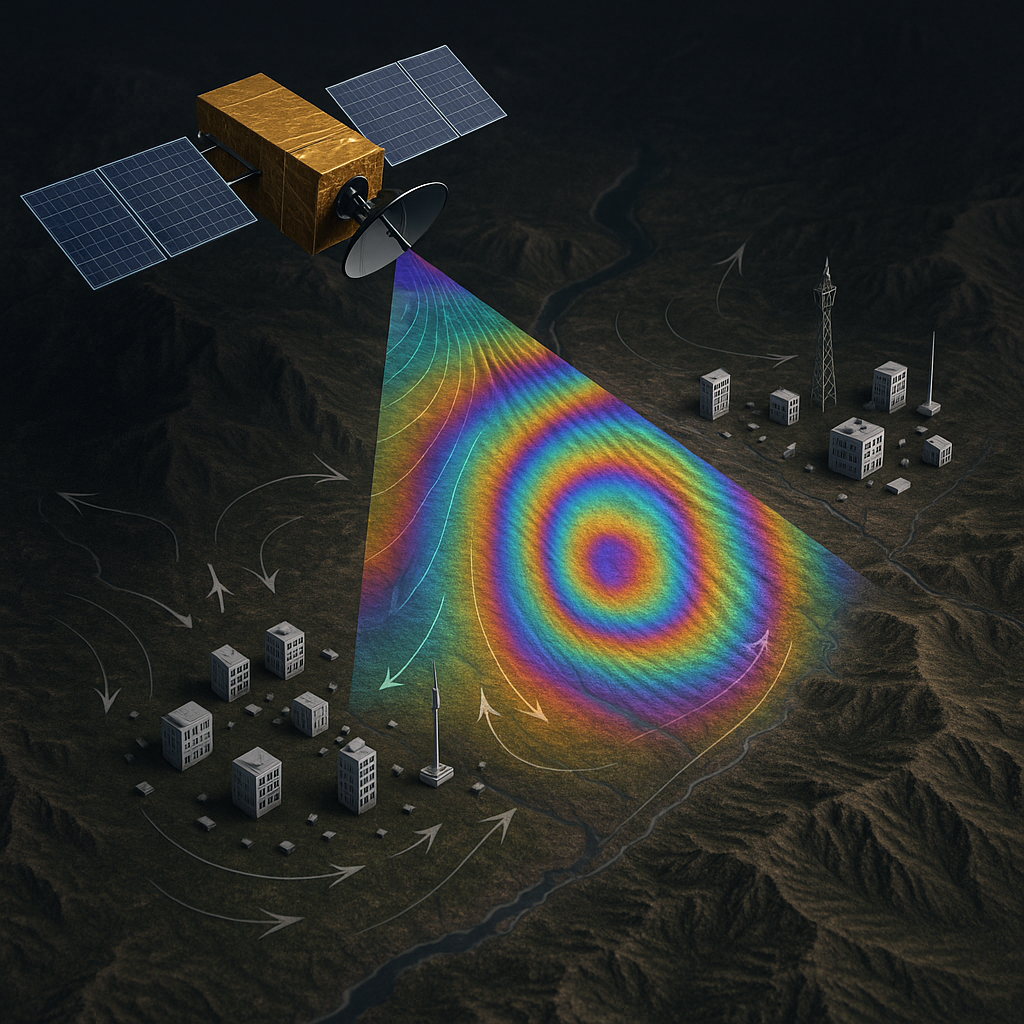
D-InSAR and PS-InSAR are advanced radar-based techniques that allow for precise detection of ground displacement with millimetric accuracy. By comparing multiple SAR images of the same location taken at different times, these methods can highlight both vertical and horizontal ground movements—often invisible to the naked eye.
D-InSAR focuses on identifying real, measurable surface changes over time by removing topographic influences from the radar signal. It is especially valuable in detecting ground instabilities caused by mining, tunneling, excavation, or early-stage fault deformation.
PS-InSAR enhances these capabilities by using stable reflectors (“persistent scatterers”) on the ground to monitor changes with high temporal resolution, even in urban or vegetated environments. This approach ensures accurate, long-term monitoring for critical infrastructures such as pipelines, bridges, dams, and buildings, supporting early warning systems and structural health analysis.

Vibrational Analysis for Structural Integrity Monitoring
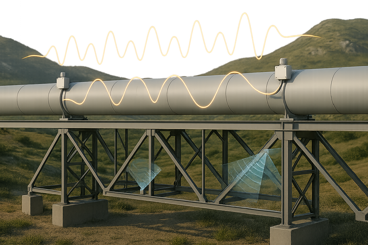
Vibrational Analysis uses remote sensing and high-sensitivity instruments to monitor oscillations and mechanical stress in large structures such as bridges, pipelines, dams, or industrial facilities. These vibrations—caused by wind, traffic, machinery, or geophysical activity—can reveal early signs of fatigue, instability, or potential failure.
Integrated with radar-based terrain monitoring, this technique provides a comprehensive picture of both ground and structural behavior. Our approach allows continuous, non-invasive evaluation of critical assets across time.
SAR Doppler Tomography
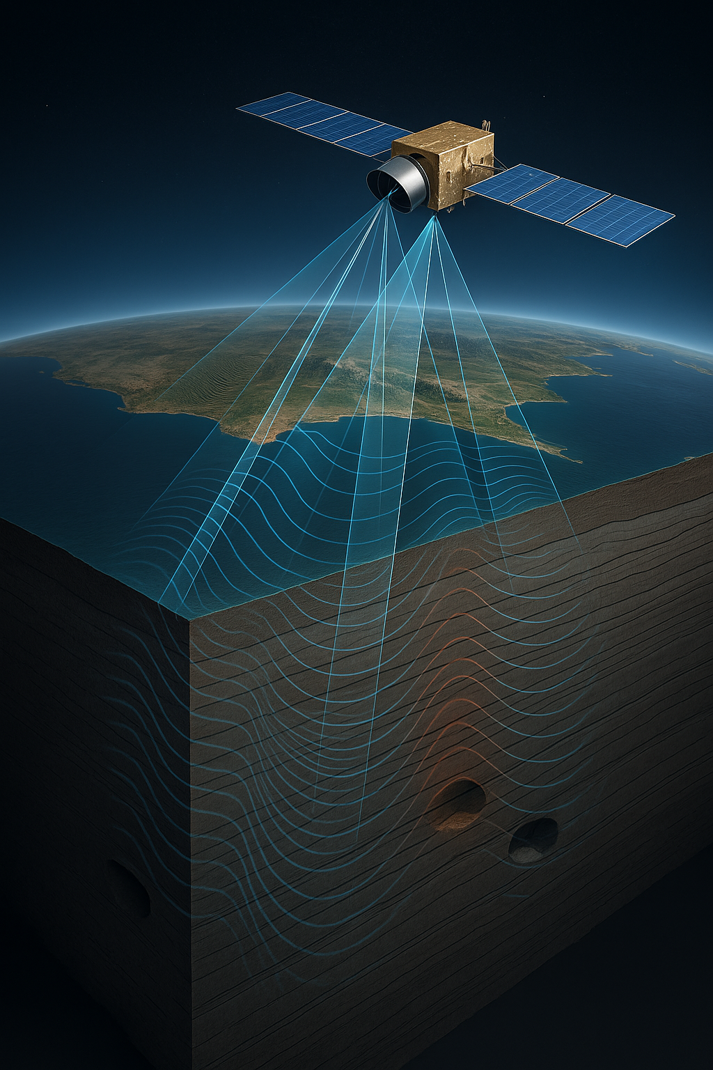
SAR Doppler Tomography is a proprietary evolution of synthetic aperture radar that combines multi-angle and multi-frequency data to reconstruct detailed three-dimensional models of the subsurface. By analyzing the Doppler shift and harmonic response of backscattered radar signals over time, this method enables vertical stratification analysis and the detection of movement patterns occurring beneath the surface, across different materials and depths.
This technique allows the identification of underground anomalies, voids, and stress zones—all without the need for invasive drilling or ground sensors. It is a revolutionary, contactless solution for industries such as mining, energy, infrastructure, and georisks, providing actionable insights into subsurface behavior with unparalleled depth and precision.
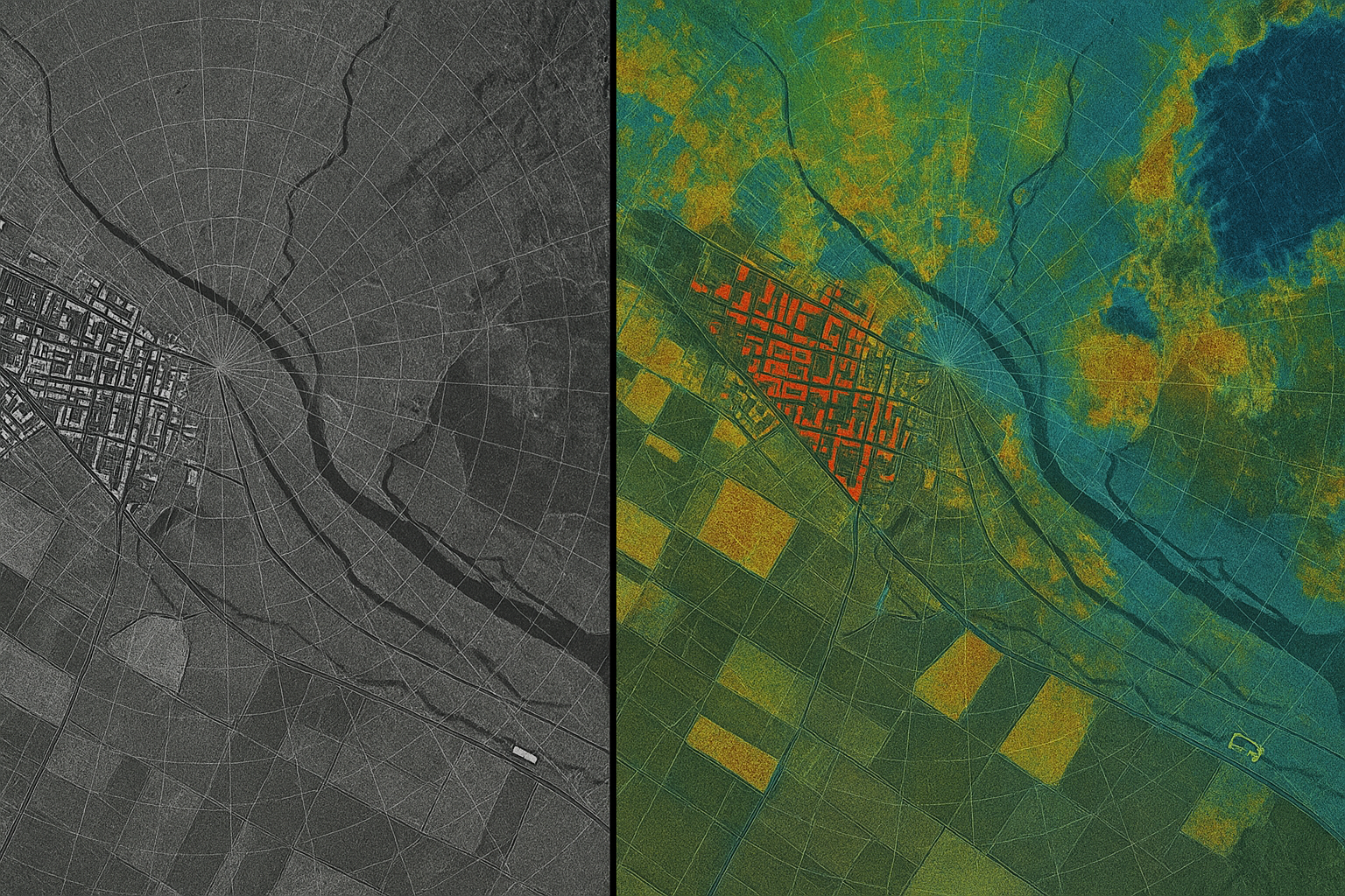
Change Detection and Coherent Change Detection Analysis
Our change detection techniques allow us to identify both surface-level transformations and subtle subsurface variations by analyzing radar signal behavior over time. Traditional amplitude analysis highlights textural and structural changes—such as construction activity, vegetation shifts, landslides, or illegal excavations—by comparing radar reflectivity values across two or more acquisitions.
With coherent change detection (CCD), we go further: examining phase coherence between radar images to detect even the most imperceptible variations, including ground disturbance, vehicle movement, or hidden excavations, even in low-visibility environments.
These methods enable real-time, non-invasive monitoring—ideal for disaster response, urban development, security applications, and land-use change detection, regardless of weather or lighting conditions.


