SERVICES
OUR CORE CAPABILITIES
Advanced Radar and GIS Services Tailored to Your Needs
We offer a suite of geospatial services built on SAR, InSAR, tomography, and custom GIS tools—designed to transform satellite data into insights that drive safety, efficiency, and resilience across industries. Select a service below to learn how we can support your operational and strategic objectives.

SAR Data Processing & Terrain Reconstruction
From raw radar data to accurate terrain intelligence.
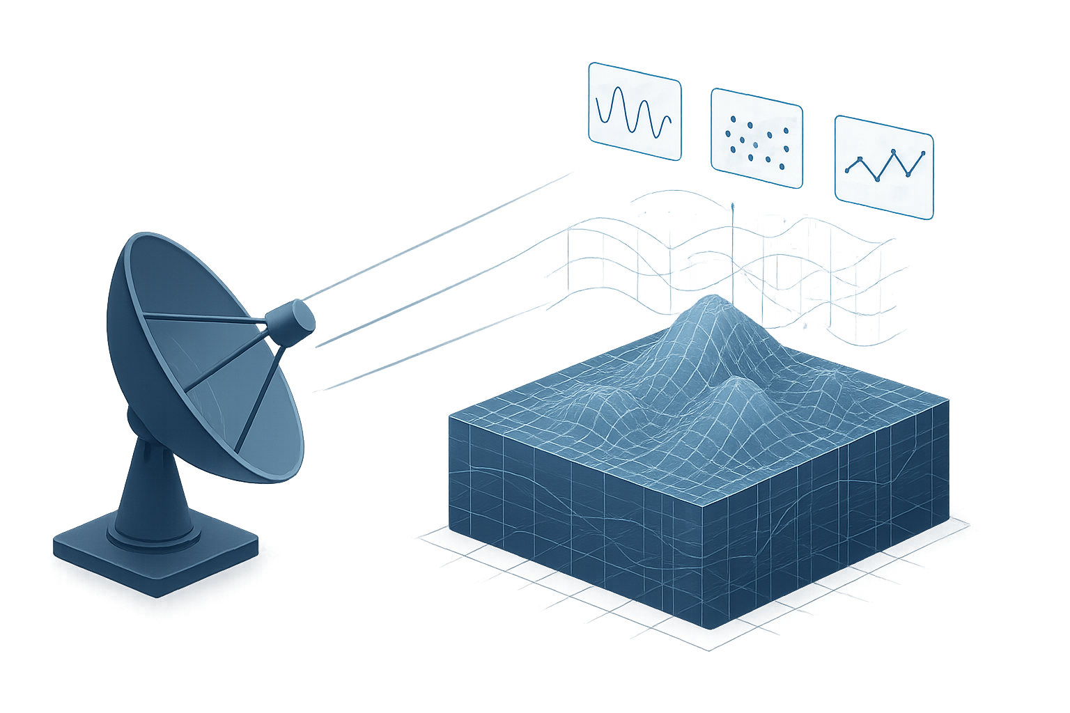
We process Synthetic Aperture Radar (SAR) imagery from multiple satellite sources to generate high-resolution, actionable geospatial outputs. Our services cover:
-
Deformation maps
Detect terrain shifts and ground movement over time -
Interferograms (InSAR, DInSAR)
Measure displacement with sub-centimetric precision -
Tomographic 3D models
Visualize underground structures and vertical deformation layers
Our processing supports various frequency bands (X, C, L) and is tailored to the specific requirements of each project—ensuring reliable, scalable, and scientifically robust results.
Typical applications include:
-
Monitoring mining activity and slope instability
-
Assessing infrastructure deformation (bridges, pipelines, dams)
-
Mapping subsidence in urban or agricultural areas
-
Supporting pre- and post-event analysis for natural hazards
GIS Integration
Seamless delivery of geospatial outputs into your GIS workflows.
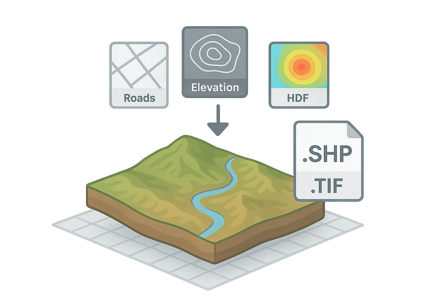
We convert radar and geospatial analysis outputs into fully compatible formats for integration with standard Geographic Information Systems (GIS), including:
-
ArcGIS
-
QGIS
-
Web-based GIS platforms
-
Enterprise spatial databases
Our service ensures that deformation maps, time series analyses, risk layers, and tomographic outputs are delivered with full georeferencing, metadata, and attribute structure—ready to be visualized, queried, and integrated into your existing GIS ecosystem.
Typical applications include:
-
Overlaying ground movement layers onto cadastral or engineering maps
-
Integrating risk zones with asset management systems
-
Enabling multi-source terrain analysis within institutional GIS
-
Feeding spatial alerts into real-time dashboards or BIM models

Vertical Curtain Tools
Cross-sectional views for subsurface and surface deformation.
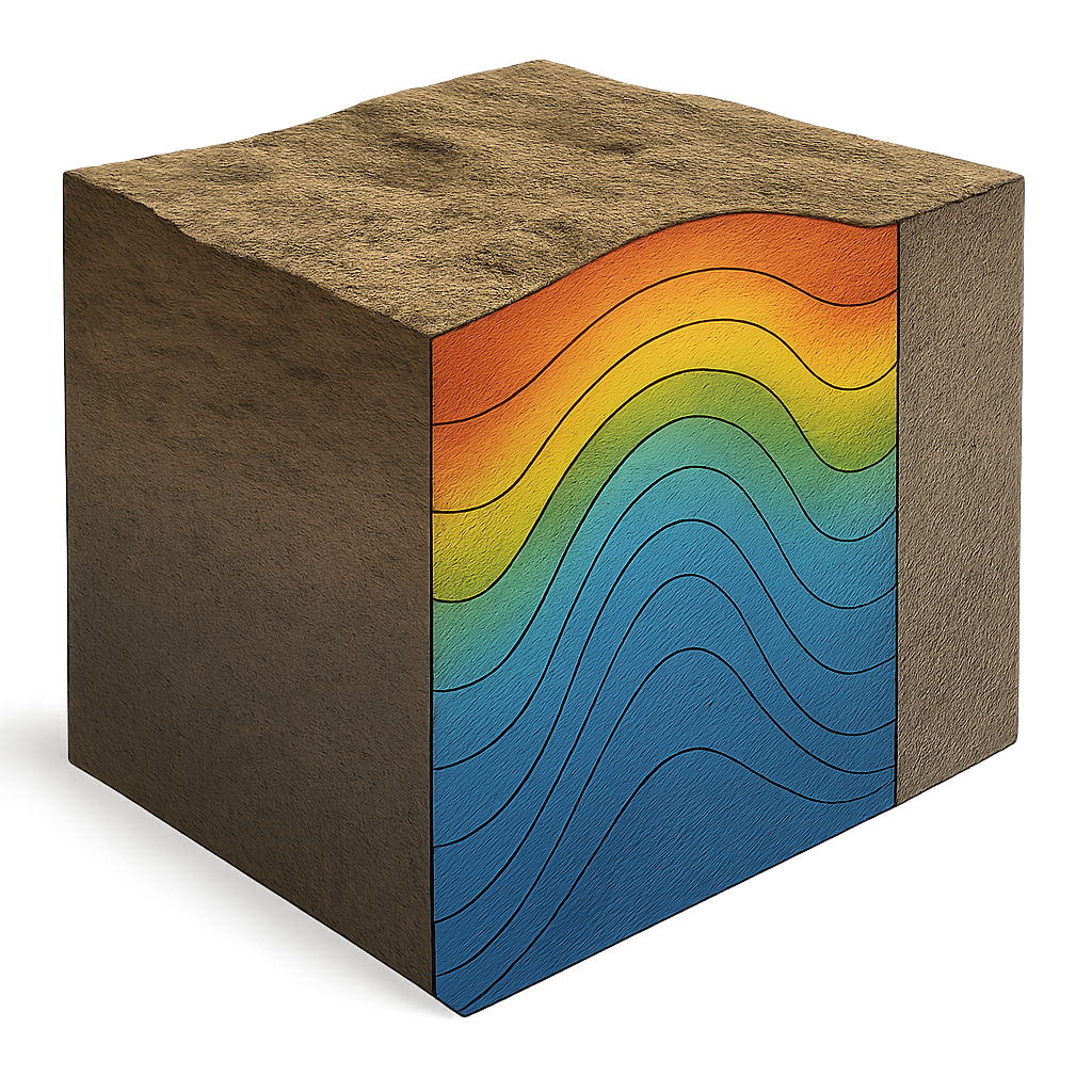
Our Vertical Curtain Tools enable intuitive 2D and 3D cross-sectional visualization of ground movement and structural shifts. By slicing through terrain models and radar datasets, we help you:
-
Visualize vertical displacements across slopes, tunnels, and infrastructure
-
Identify patterns of subsidence or uplift along critical corridors
-
Correlate surface deformation with subsurface anomalies or geological layers
These tools are especially useful in complex terrains, where traditional top-down views may obscure risk zones or displacement profiles.
Typical applications include:
-
Monitoring slopes and excavation fronts in mining operations
-
Visualizing ground behavior along pipeline and rail corridors
-
Assessing subsurface stability in urban or seismic-prone areas
-
Supporting communication between engineers, planners, and decision-makers
Custom Add-Ons – Delivered on Request
Tailored functionalities built around your operational needs.
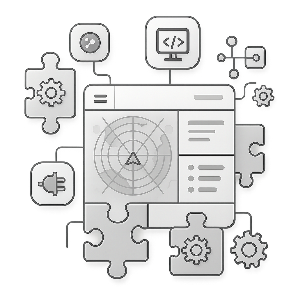
We develop custom scripts, plugins, and processing modules that extend the capabilities of our core geospatial tools—fully adapted to your internal workflows, software ecosystem, and reporting formats.
Whether you need specific automation, third-party integration, or industry-specific logic, our team can deliver solutions that enhance usability, scalability, and interoperability.
Customizations may include:
-
Automated alert logic based on displacement thresholds
-
Export formats tailored to regulatory templates or legacy systems
-
Integration with internal asset management or SCADA platforms
-
Custom visualizations and reporting layers for executives or field teams
Typical use cases:
-
Adapting radar alerts to smart city infrastructure management
-
Enabling dynamic monitoring of remote industrial sites
-
Aligning outputs with national environmental or safety frameworks

Dashboard Interfaces – Developed Upon Demand
Real-time access to radar insights through interactive visual platforms.
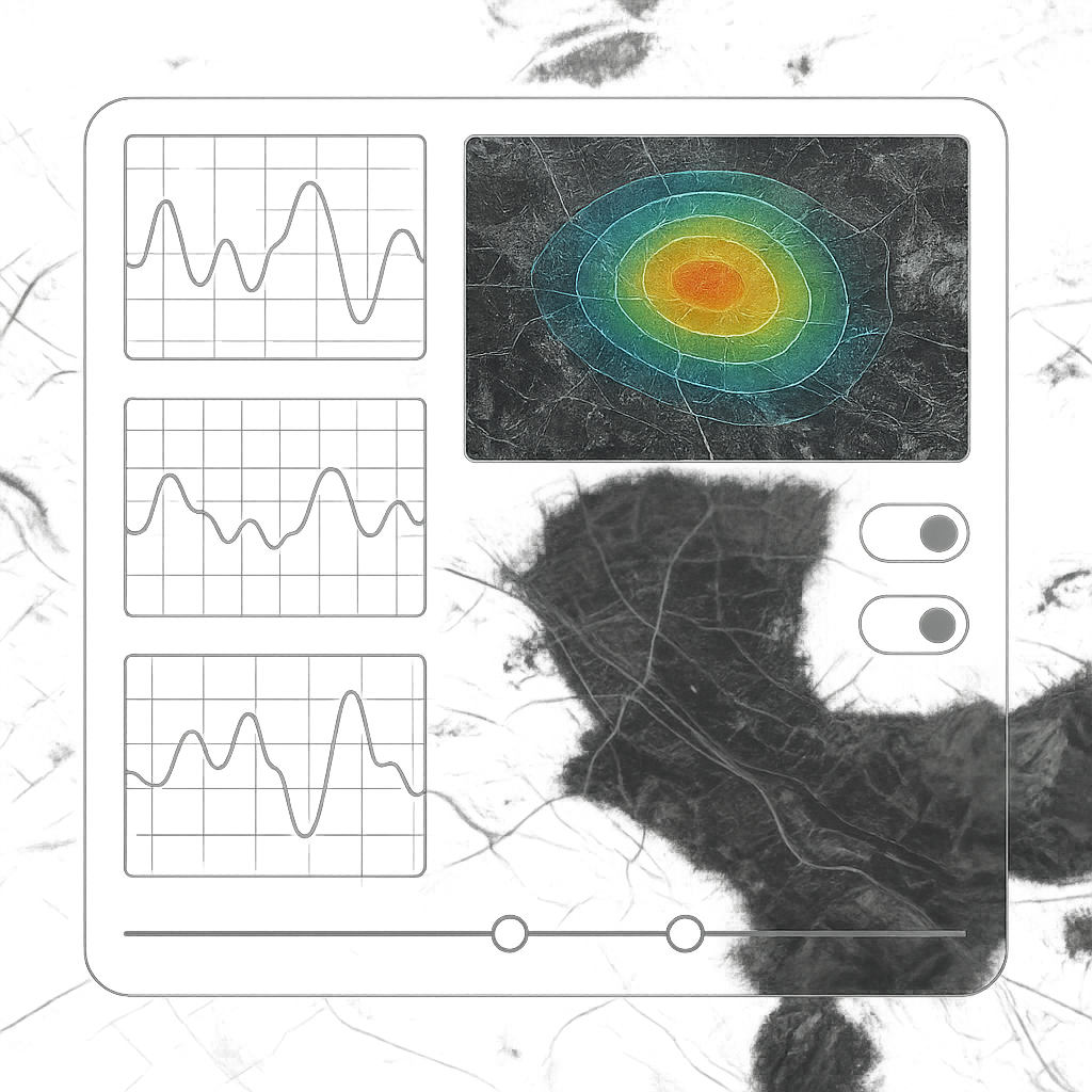
Our custom dashboards allow clients to visualize radar-derived data in an intuitive, web-based interface—accessible anytime, anywhere. These platforms are designed for both technical teams and decision-makers, enabling real-time interpretation and responsive action.
Core features include:
-
Dynamic visualization of deformation maps and time series
-
Interactive map layers with zoom, filter, and compare functions
-
Timeline navigation for multi-temporal analysis
-
Project-specific alerts and status indicators
Dashboards can be deployed as standalone platforms or integrated within your existing digital environment, ensuring a seamless experience from data to decision.
Typical use cases:
-
Continuous monitoring of critical infrastructure (e.g. bridges, dams)
-
Visual risk communication for public authorities
-
Remote coordination of multi-site operations
-
On-demand reporting and trend analysis
Monitoring Automation – Available as Tailored Solutions
Automated geospatial monitoring at scale, with zero manual overhead.
Our Monitoring Automation service allows you to schedule, execute, and receive radar-based terrain analyses without any manual intervention. Through customized workflows and API-based integration, we deliver a fully automated monitoring pipeline.
What’s included:
-
Scheduled radar acquisitions and processing routines
-
Automated deformation analysis and change detection
-
Threshold-based alert generation (email, dashboard, webhook)
-
API access for data ingestion into your internal systems
This service is ideal for large-scale or long-term monitoring projects that require continuous oversight, rapid response, and minimal resource load.
Typical use cases:
-
Continuous subsidence monitoring for pipelines and railways
-
Autonomous risk detection in remote or inaccessible areas
-
Regulatory reporting based on automated interval analyses
-
Integration into digital twins and smart infrastructure platforms
