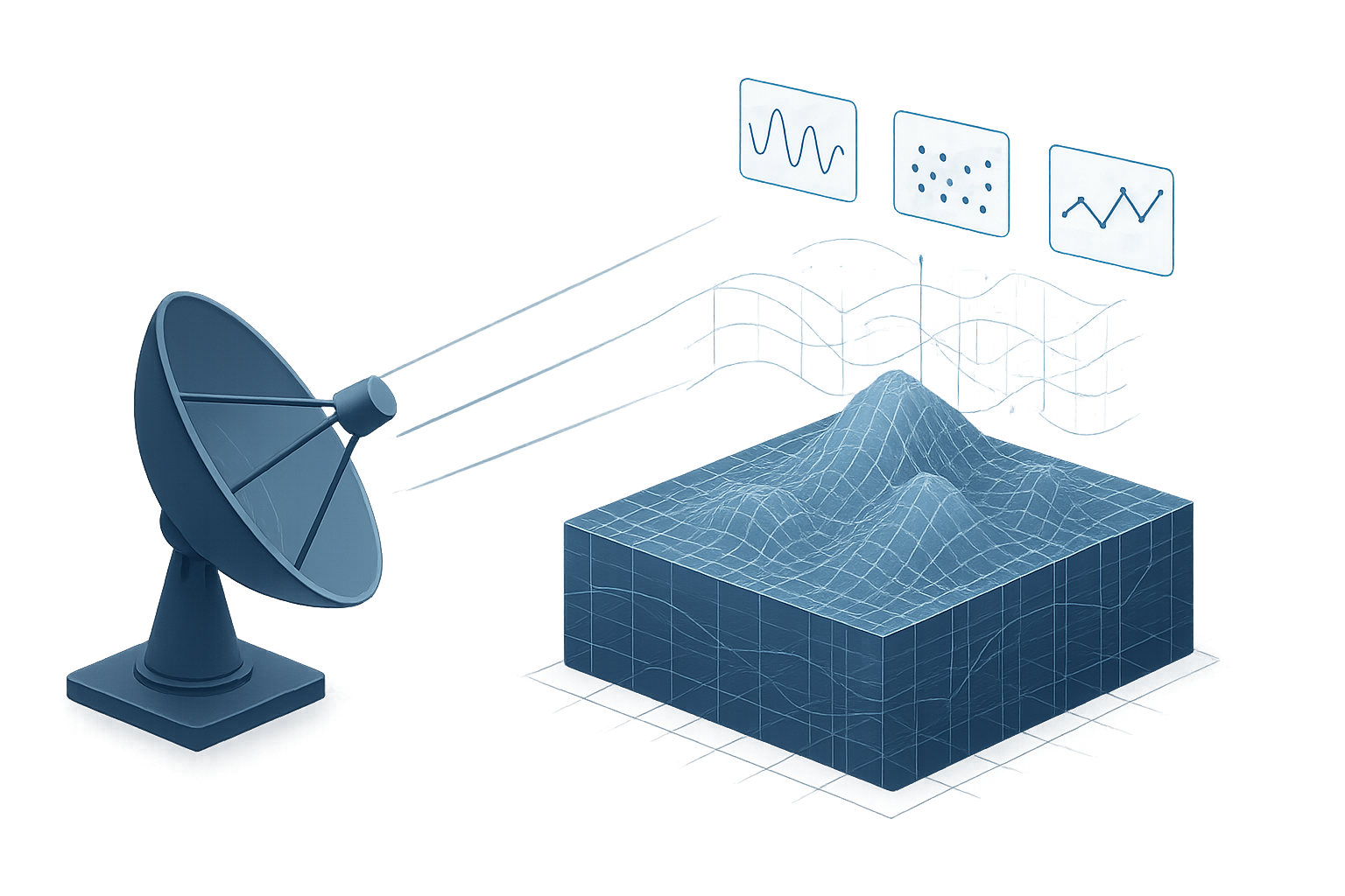
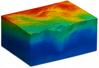
See Beneath the Surface, Without Breaking Ground
Our SAR-based technology reveals subsurface dynamics in real time—empowering companies to detect risks, optimize exploration, and monitor assets without drilling or disruption.


WHAT WE DO
From Radar Data to Real-Time Insight
We develop specialized tools and workflows for processing radar (SAR) data and integrating it into GIS platforms. Whether you need to extract vertical terrain profiles or automate tomographic analysis, our modular solutions fit seamlessly into your operational environment.

SAR Processing
Convert radar data into precise maps and tomographic models.
GIS Integration
Export-ready formats for use in ArcGIS, QGIS, and other GIS platforms.
Vertical Curtain Tools
Visualize terrain deformation in cross-sectional views.
Custom Add-Ons
Plugins and scripts tailored to your workflow and platform.


WHY YOU CHOOSE
We don’t just process radar — we transform it into insight.
With advanced radar and GIS expertise, CORE Engineering delivers high-performance tools for tomographic analysis, terrain monitoring, and geo-data visualization. Trusted by infrastructure operators and research centers, our solutions offer unmatched precision and scalability.


RADAR ANALYSTS AND STRATEGIC DEVELOPERS
From raw SAR data to operational intelligence
Our team combines radar physics, GIS, and software engineering to turn complex SAR imagery into actionable data. Each solution is tailored to meet operational demands, from vertical terrain profiles to fully GIS-integrated formats.
APPLICATIONS
Where Our Technology Delivers Impact
CORE Engineering’s solutions are deployed across sectors where terrain matters and timing is critical. From monitoring ground stability in mining sites to detecting deformation in urban infrastructure, we help organizations anticipate risk and respond with precision.
Our technology supports applications in mining, oil & gas, civil infrastructure, environmental monitoring, and more—integrated directly into operational workflows.


FAQ
Common Questions About Our Radar & GIS Workflows
Here are some of the most common questions about our radar and GIS solutions. If you need further clarification, feel free to reach out — we’re here to help.
What type of SAR data do you accept?
Can I export results to ArcGIS or QGIS?
Do you support automated vertical slicing?
CONTACT
Let’s Work Together
Whether you need to transform radar data into insight or build a tailored geospatial tool, our team is here to help. Reach out and discover how CORE Engineering can support your project.

